I enjoyed walking around Mount Geumjeongsan in Busan, and since Seoul also has some highly-accessible mountains I decided to give Mount Bukhansan a try. It took me some time to find good information on how to get there, so it was pretty late in the afternoon when I set out—it turns out that this is the secret to avoiding the crowds.
To get to the starting point at the Bukhasan National Park entrance on the Western edge of the mountain, you take the subway to Gupabal station, leave by Exit 1, and then take bus 34 or 704 until they announce Bukhasan. There's a good chance you can simply follow the people in hiking gear from the subway station.
By the time I arrived at the park entrance (no admission fee required), it was well after 4:00. Sure, it was the June 21—typically the longest day of the year—but it was understandably later than most people chose to start going up the mountain. this actually turned out to be a big advantage, as I only encountered one other person on the way up, only passed a few on their way down, and had the summit entirely to myself for the half hour or so I was up there. Normally this trail is extremely popular, and there are literally hundreds of people at or near the summit.
The path to Baegundae Peak is well marked—something of a surprise after Busan and Mount Geumjeongsan. There are updates every 500 meters or so. For the first half the climb is pretty gentle, but in the latter half it escalates into metal staircases, rocky steps, steps cut in the mountain, and then rocky scrambles across the granite mountain with steel-cable railings to support yourself.
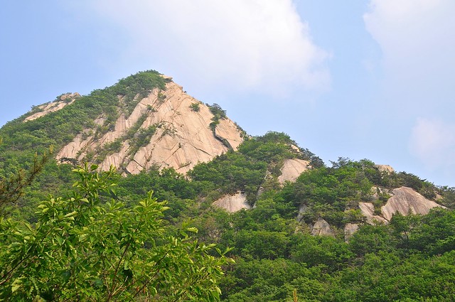 |
It's 5:10 and I'm midway there.
|
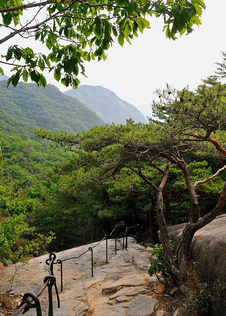 |
Looking back down, from a little farther up.
|
 |
A panorama of the fortress wall, the city, and the mountains, just before the final push.
|
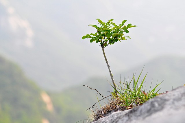 |
A sproutling gains a foothold on the mountain.
|
 |
We're getting close, now.
|
 |
Baegundae peak is within reach.
|
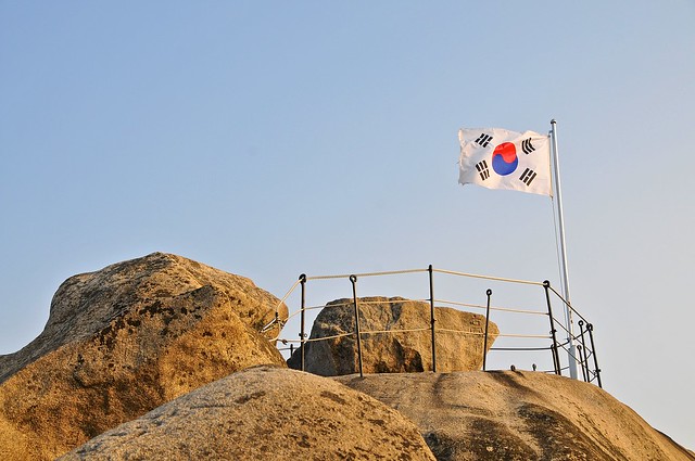 |
I've got the summit to myself. Apparently not many people reach the top at 6:40 pm.
|
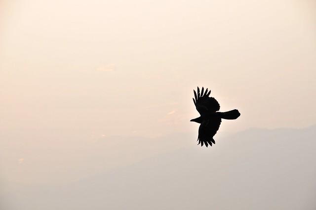 |
I only have to share it with the crows, who do noisy flybys to let me know of their presence.
|
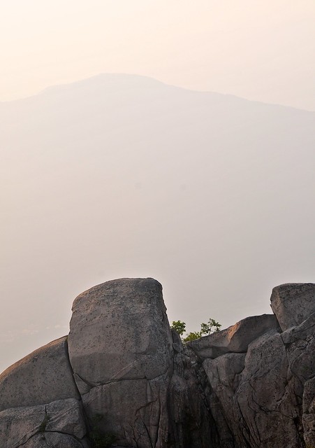 |
On the way down.
|
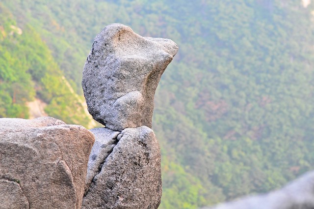 |
| Duck-headed rock surveys the mountains. |
 |
Instead
of heading down the mountain to the right and the Bukhasan Park
entrance, I went down to the left and the Jeongneung Information
Center.
|
I descended through the eastern slope of the mountain, ending up at the Jeongneung Information Center. This path is less steep and more gradual. From Jeongneung you can get back to the metro by taking bus 110B or 143 to the Gireum metro stop.
No comments:
Post a Comment