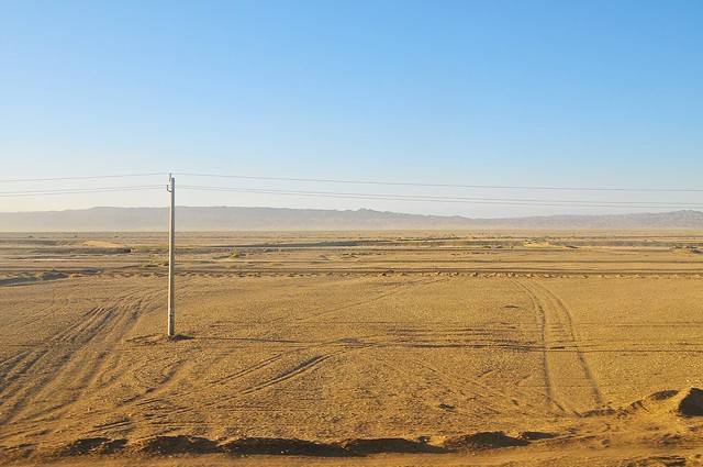
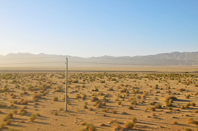
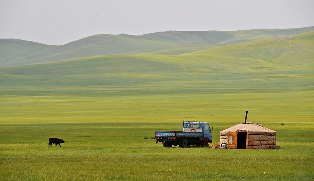
The Turpan depression is the lowest point in China, and the second
lowest in the world after the Deadd Sea, at 155 meters below sea level.
It's also the hottest place in China, with a recorded high of 48°C.
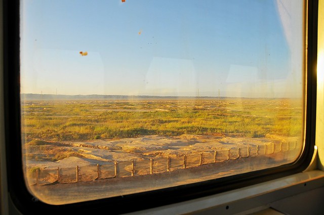
Turpan was also my first exposure to Xinjiang, even if it was almost 800
km from the border with Gansu. As the bus from Dunhuang was ultimately
headed for Urumqi, I was dropped off at the northern end of town, where
the highway clips the edge of town.
I had no idea where I was but started walking south along a major road. I
eventually reached town, but even at 8:00 in the morning I had to stop a
few times to cool down. After walking around the center of town for a
bit, I headed to the Turpan Hotel—which was supposed to have
dorms—hoping that they still accepted foreigners. It took a while for
the English-speaking attendant to show up, but she said I would be able
to check in later—I think they accepted foreigners because they were a
large three-star hotel that also hosted tour groups in their main hotel
operations.
When I checked in that afternoon, I discovered that the dorms were
actually located in the basement of a side building whose entrance was
to the right of the main hotel entrance steps. Lots of people seem to
complain about these dorms, but in my mind they were actually pretty
good: 3 beds in an air-conditioned room with a TV and attached bathroom
featuring a western toilet, and daily cleaning from hotel staff, all for
the typical hostel price 50 yuan per night. Given that hostels usually
lack AC and are much dirtier, being in a fairly dark and humid room
(there was window high up on the wall, but always closed since people
tend to use AC instead) was fine with me, especially since I didn't plan
on being there that much.
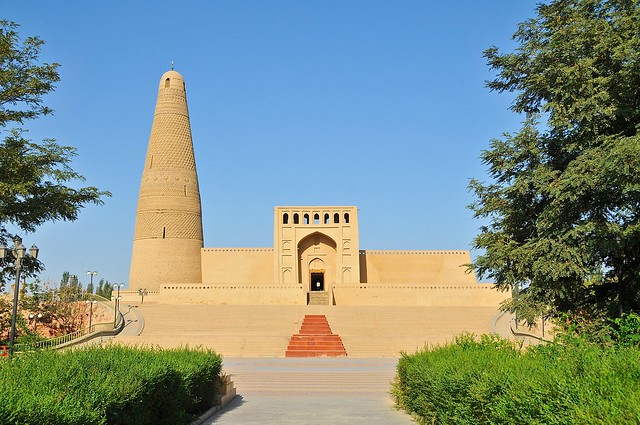
Emin Ta Minaret aka Sugong Ta
After dropping my bag at the hotel, I decided to see one of the major attractions in Turpan: the Emin Ta Minaret.You can take bus 1, 6, or 102 to get there. I took bus 6, which takes back streets and drops you off near the rear entrance to the mosque. I ended up walking all the way around to the front entrance because I couldn't read the signs pointing out the shortcut access, which seemed to indicate it was an exit only. It was a pleasant walk through empty backstreets bordering on grape fields, and much more interesting than simply being dropped off directly at the entrance.
Anyway, a bigger problem is that Lonely Planet calls it Emin Ta—and only gives the Chinese characters for Emin Ta—when everybody local calls it Sugong Ta and the signs and buses only use this name (苏公塔). This makes it kind of tough to tell if you're getting on the right bus, not least since the buses don't all seem to have numbers on them.
The back roads that bus 6 takes you over is a nice introduction to Xinjiang, however, as you pass through dusty streets lined with mud-brick houses—all very monochrome and Central-Asian looking. Between this kind of architecture and the poplar trees, this is the sort of landscape I was expecting, and hoping, to see in Central Asia. Dunhuang may have offered a taste of it, but this is where it really felt like the Silk Road was beginning.
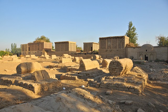 |
| Muslim cemetery near Emin Ta, with typical Turpan lattice-brick grape-drying houses in background. |
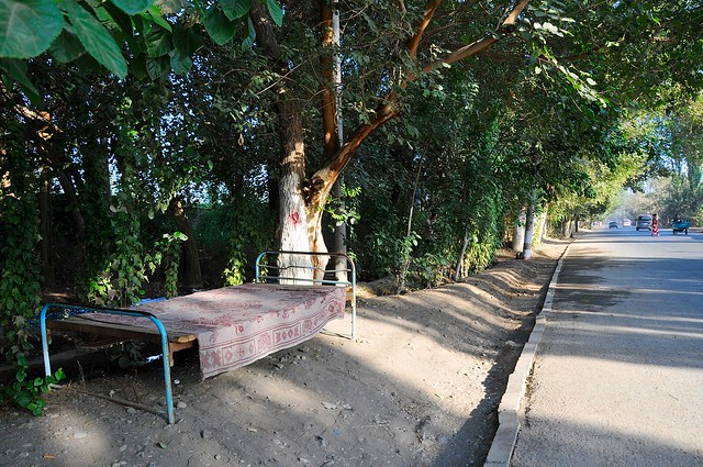 |
| Beds in front of houses and in the streets are a common sight in scorching-hot Turpan. |
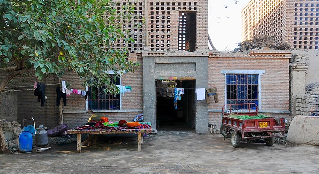 |
| Living quarters below, grape-drying on top, and sleeping platform out front. |
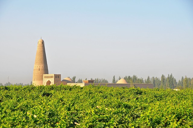 |
| View of Emin Ta over grape vines. |
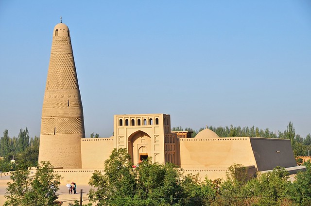 |
| The minaret is 44 meters high and richly ornamented with decorative brickwork. |
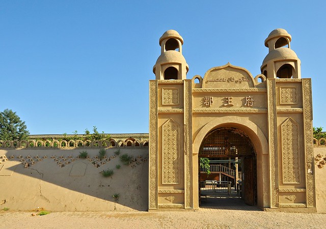 |
| Modern admission gate to the mosque complex. |
 |
| Below the mosque's main entrance. |