Even though it was late in the tourist season and there were few tourists because the Pamirs had been closed for a couple of months, Megi and I didn't have to wait long for a jeep from Murghab to Osh, as we obtained one leaving the morning after our first inquiries. Although we were supposed to leave well before 10:00, we spent a while waiting for additional passengers and then going to a few houses to pick up cargo, so it wasn't until after 11:00 that we actually hit the road.
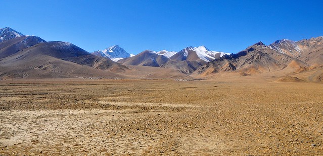
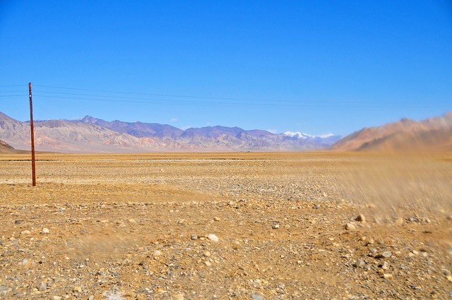
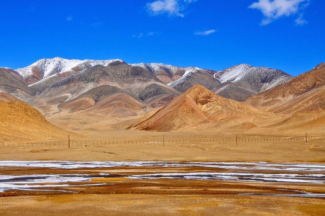
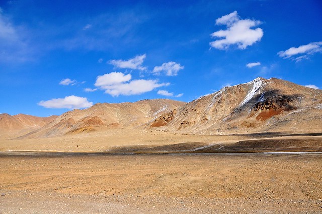
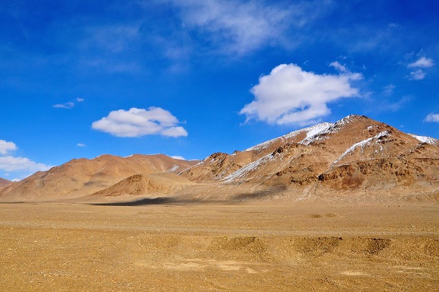
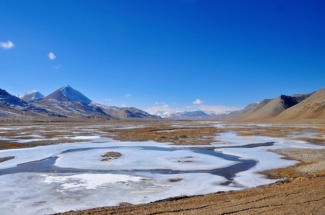
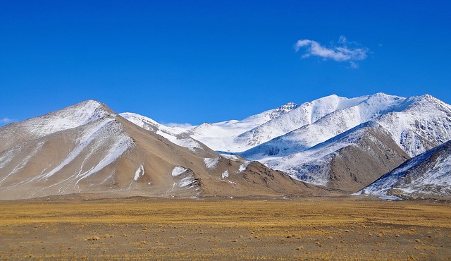
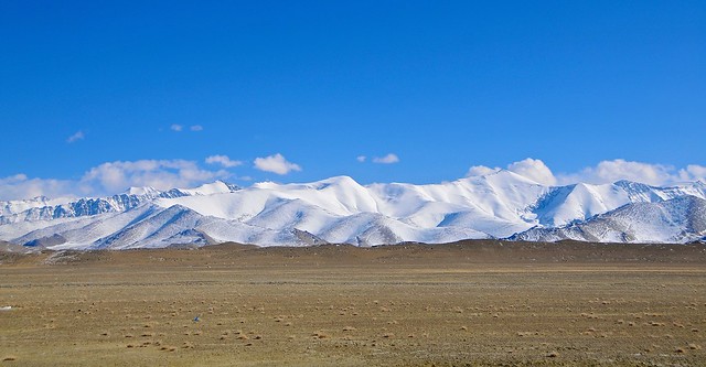
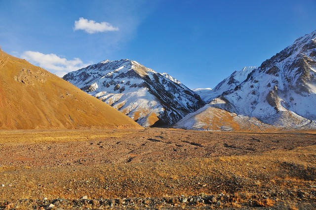
The M41 leaves Murghab to the east and then curves north through a wide, flat valley, while another road continues straight east from Murghab towards the Chinese border at the Qolma pass.The first stretch of road, before the valley narrows and the road begins to climb the the Ak-Baital pass, runs through a wide, dry valley.
Given my trouble at the border the last time I was there, as well as the weird vibe given off by police and security in Dushanbe, I was hesitant to take pictures of the actual border area as we waited, lest I attract any unwanted attention. Between the waiting and the processing, it was about an hour before we were stamped out of Tajikistan and on our way down the pass.
On the Kyrgyz side it again took about an hour for us to be processed and stamped into Kyrgyzstan, and adding in the half-hour it took to cross no-man's-land, the sun was setting as we headed into Sary Tash even though it was bright and sunny when we arrived at Tajik border control. Thankfully I had seen the M41 between Sary Tash and Osh a few times before, so I wasn't missing much. As the road on the Kyrgyz side is fully (and recently) paved once you reach Sary Tash, the Kyrgyz side takes about three and a half hours to reach Osh. In total, that made about seven hours of driving, plus two hours of border formalities.
Now, in all my other journeys to Osh I had been dropped off wherever I wanted to go in the city, and I'm pretty sure the Kyrgyz driver I had traveled with before would have dropped us off in the city. This jeep, however, turned off into a house/compound on the outskirts of Osh, and dropped us there. This wasn't terrible for the other passengers, as they all made calls to friends and relatives to be picked up, but it sucked for Megi and I. What's worse is one of the younger guys who was in our jeep offered to give us a ride into town with his friends and cargo... for 150 som each! For context, a marshrutka from Osh to Jalal Abad is 100 som, so I refused (which was relatively easy since I knew where we were), but Megi had to accept as she was supposed to meet a friend in Osh that night.
From more recent reports it seems that it has become standard for all vehicles to and from Murghab to leave from this compound on the outskirts of Osh, so it probably wasn't as bad a ride as I originally thought (but I'm also sure the other Kyrgyz driver would have taken us all the way).
Anyway, I walked into town. It wasn't that bad, neither too hot nor too cold. I headed to the Osh guesthouse because I wanted to be able to cook and I wanted to use their wi-fi instead of having to sit my ass down in an internet cafe. Some decent food and internet access: two things in short supply over the last week. I made this egg and tomato dish that I had learned about from the Israeli girl Helit in Xiahe, as apparently this Chinese dish is very similar to an Israeli dish, and is very simple to make. I also stocked up on snacks and sweets unavailable in the mountains, spending my remaining som. The guesthouse was pretty empty when i was there, so I was able to snack and surf well into the night.
The M41 leaves Murghab to the east and then curves north through a wide, flat valley, while another road continues straight east from Murghab towards the Chinese border at the Qolma pass.The first stretch of road, before the valley narrows and the road begins to climb the the Ak-Baital pass, runs through a wide, dry valley.
 |
| Looking east, just north of Murghab. |
 |
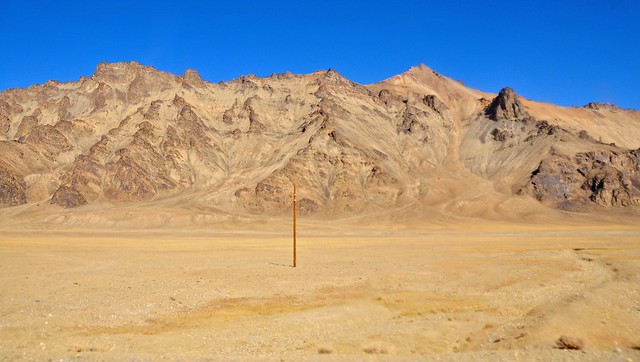
| Barren but beautiful in the autumn sun. |
 |
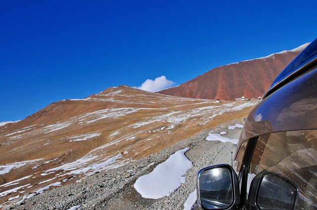
| Smudges on the jeep's windows made it hard to take pictures. The road to Rang-kul lies through this gap in the mountains. |
 |
| The mountains close back in on the valley. |
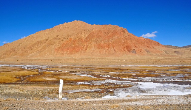 |
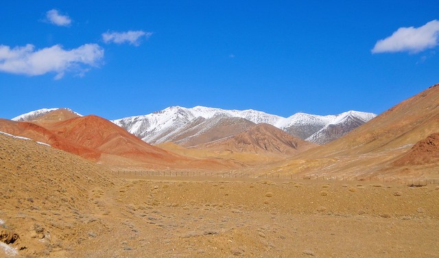
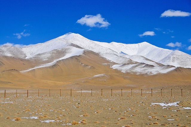
| A little further north the mountains have a bit more colour, as I saw from the mountain-top on the northern outskirts of Murghab. |
 |
| Just beyond the power lines you can see the so-called Chinese border fence. Although in many places the border is actually dozens of kilometers from the road, China has flexed its muscle and convinced the Tajiks to allow a fence to be constructed near the road, allowing for easier control and monitoring of the border. |
 |
| In this stretch of the road the border is actually the top of those mountains, but in many cases the fence is right next to the road but the border is far away. |
 |
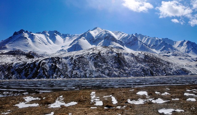
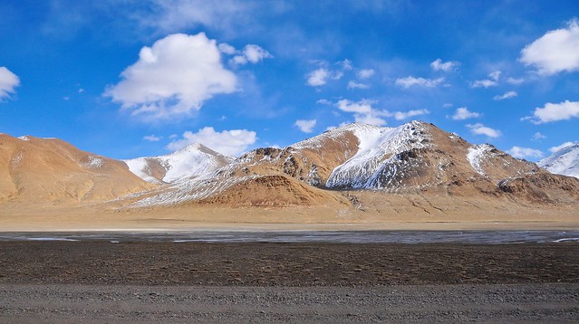
| As we begin our climb to the Ak-Baital (white horse) pass the valley becomes narrower and snowier. |
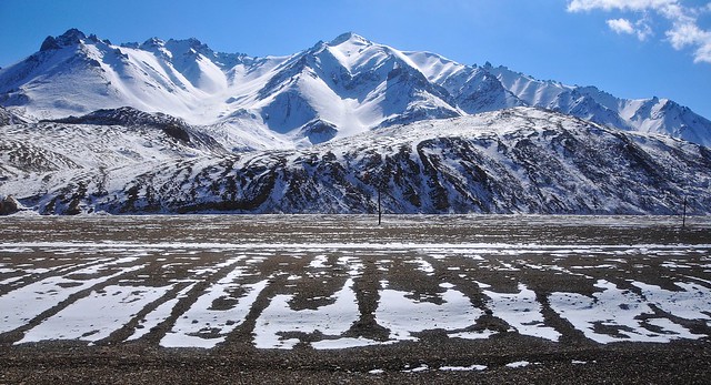 |
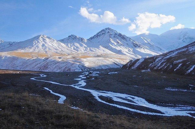
| The gravel valley bottom suggests water flows everywhere in spring and summer. |
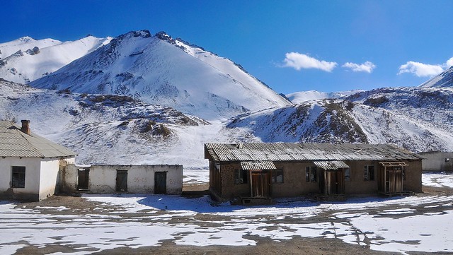 |
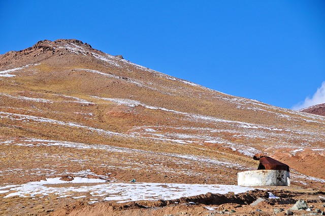
| An outpost near the pass. |
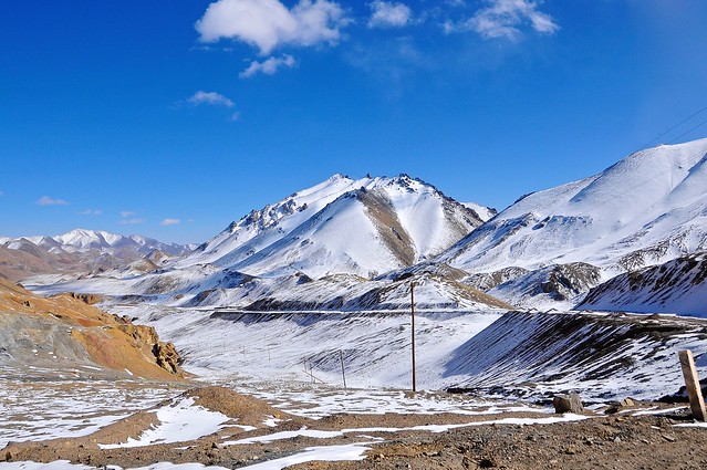 |
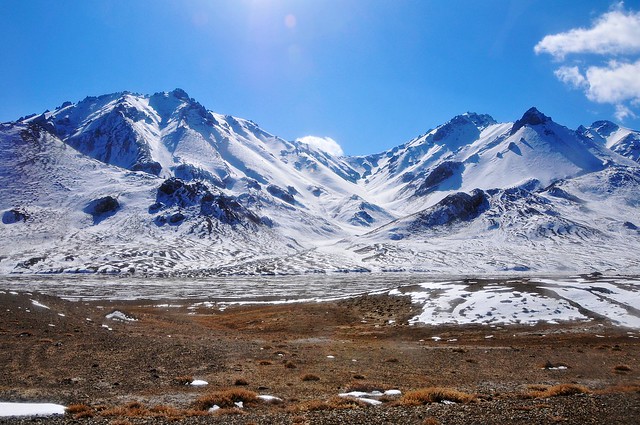
| Looking back at the valley. Although the road isn't that steep, the road climbs to 4,655 meters—the highest point on the Pamir highway, and the highest I've ever been. |
 |
| This curve is about as close as the pass gets to a switchback, and the photograph is taken just before the highest part of the pass. |
 |
| Looking west shortly after the pass's summit: it's downhill from here. |
 |
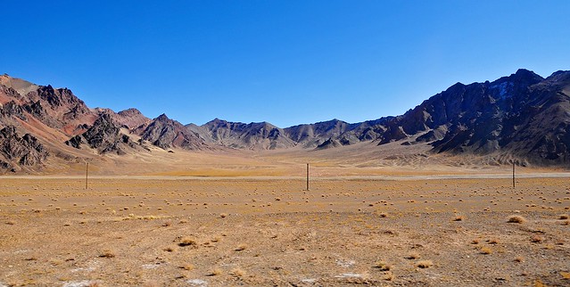
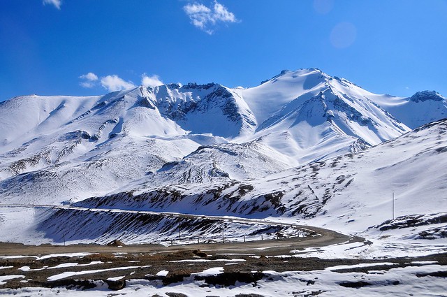
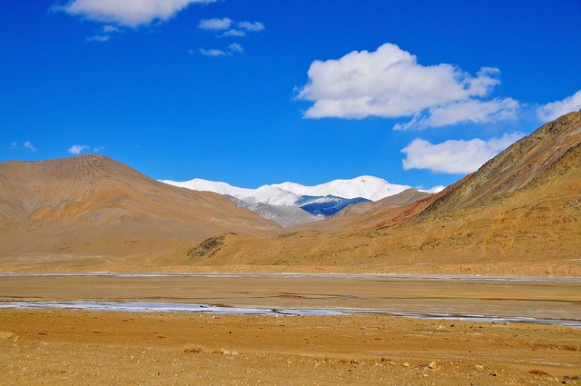
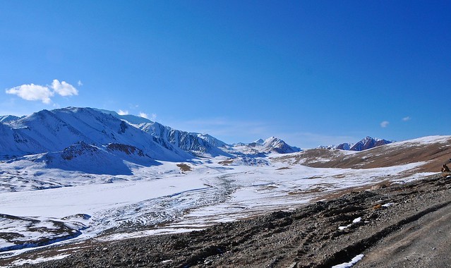
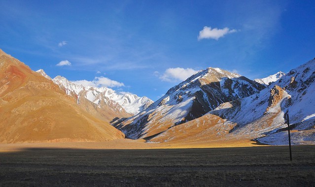
| After the pass is more of the wide, barren valley, surrounded by low mountains, as we saw before the pass. This valley starts at about 4,200m and slowly drops to about 4,050m. |
 |
| Are these low clouds or just high terrain (the mountain is about 4,500m high—taller than Mt. Whitney, the tallest mountain in the lower 48 US states)? |
 |
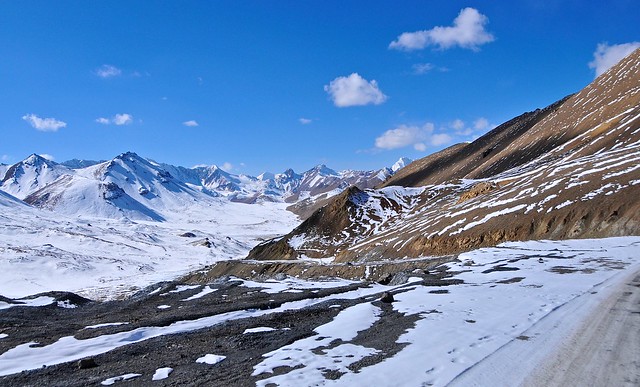
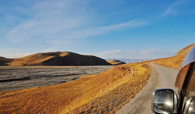
| You can see part of the road here. It's wide and gravelly, and not that bad at all. But the Chinese fence makes you wonder what things would be like if this was in China: certainly the environment is no more challenging than what the Karakorum highway runs through on its way up to Tashkurgan and Pakistan, and that road is a good sealed road. Of course, China would also flood the area with Han migrants, quickly and easily making the 25,000 Kyrgyz and Pamiris who live in the GBAO minorities in their own territory. Would concomitant Chinese amenities like reliable electricity, transportation, schools, plumbing, etc. be enough to placate the people? |
 |
| The thin, pollution-free air makes for intensely blue skies. |
 |
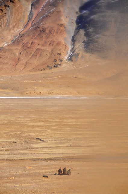
| Those dots on the lower right are three guys praying towards Mecca. They're the first people we had seen. |
 |
| Unfortunately a window smudge got in the way. |
 |
| An old abandoned Soviet-era outpost. |
 |
| This would be an amazing are to explore in the height of summer on a motorbike. |
 |
| In the height of summer this valley must be flooded with melt-water. |
 |
| Shortly after crossing this river we cut through a gap in the mountains on the right, and the road opens up into a wide open area and straight road down to lake Karakul ("Black Lake"). |
 |
| On a rare stretch of paved road, it's straight on to Karakul. |
 |
| We were briefly stopped for some vehicle maintenance. Even though we're at over 3,900m in late October, heat shimmers off the road and desert make distant details indistinct. |
 |
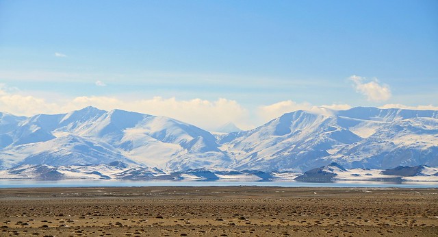
| Those mountains to the north mark the border with China. They are the same snowy mountains I saw from Ulugqat, in China, and the same mountains that form the backdrop of the sand-dune lake of Bulungkol. |
 |
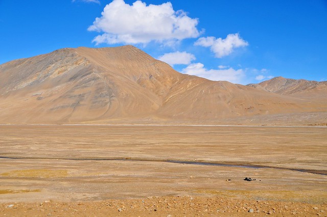
| More small mountains to the east. |
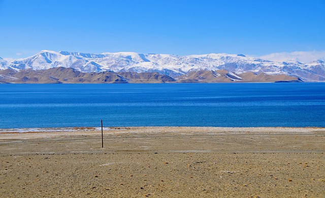 |
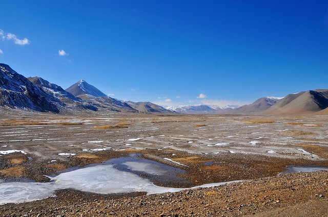
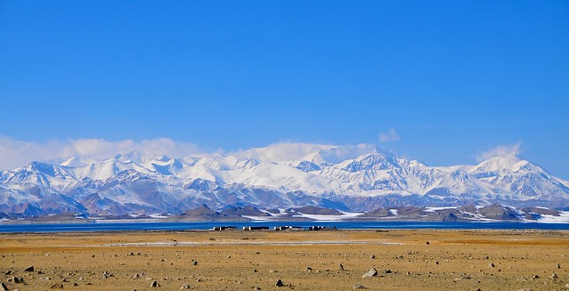
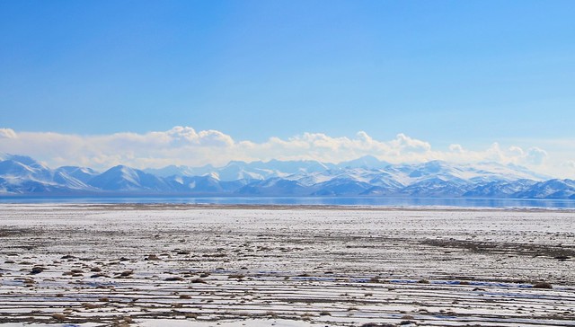
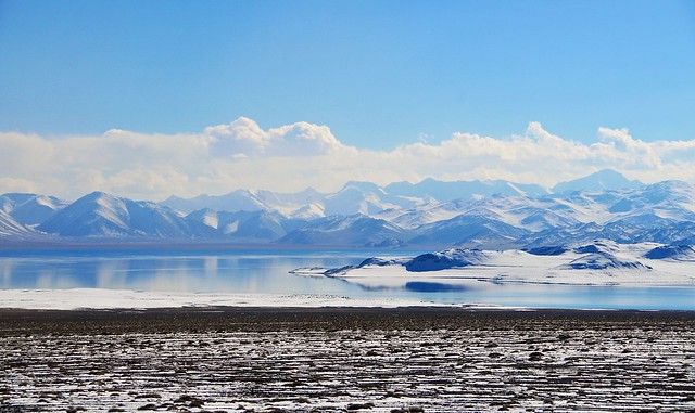
| Lake Karakul leas at an elevation of 3,920 meters (the Chinese Karakol, about 100km southeast, is at 3,650m). |
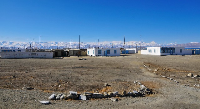 |
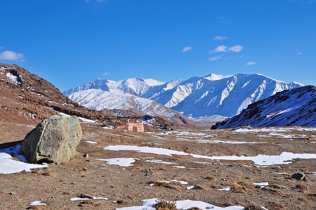
| The village of Karakul, from the M41. The use of typical Russian white and blue makes this village seem more cheerful than Alichur. I'm sure the proximity of the lake and the more distant snow-capped mountains helps, too. It took a little over two hours to reach Karakul village from Murghab. |
 |
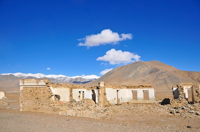
| Old abandoned buildings on the lake shore. |
 |
| On the other side of the road, looking east towards China. |
 |
| The Chinese fence. |
 |
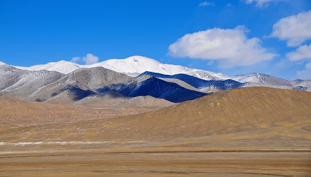
| The mountains to the west are mostly under 5,500 meters high. |
 |
| Snow on the northern shore. |
 |
| There's a large island on the northern part of Karakul. |
 |
| Looking west. The southern approach to Pik Lenin is through that valley and to the right. |
 |
| Looking west as we make the ascent to Kyzyl-Art pass and the border. |
 |
| Almost there. |
 |
| Those buildings near the jeep's roof-line mark the Tajik border post. It took about one hour to get here from Karakul village, or about three hours from Murghab. |
 |
| We stopped a hundred meters or so south of the border point, to wait until the cars in front of us passed through the border. That square shelter of fabric surrounding posts marks an outhouse: once the pit you've dug is full or whatever, you can easily move the privacy curtains somewhere else. |
 |
| An old concrete and tin yurt-shaped building, just next to the border. |
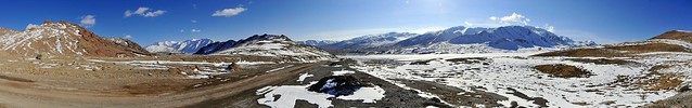 |
| Panorama looking south down the road. |
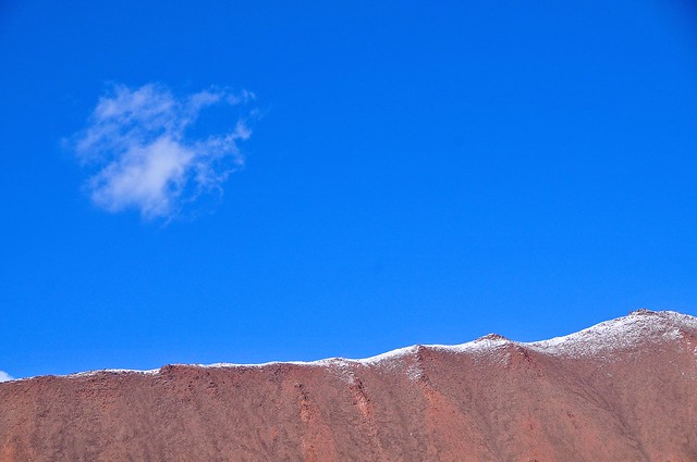 |
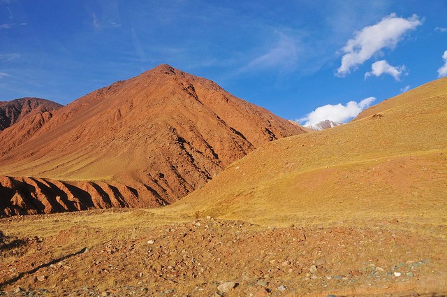
| Red rock, blue sky, white cloud. |
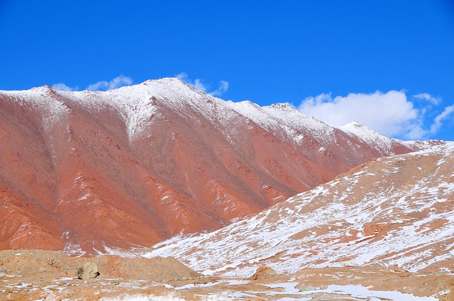 |
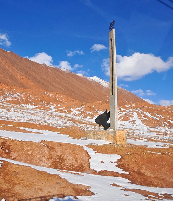
| This red mountainis basically where the border actually is. The switchbacks down from the Kyzyl-Art pass into Kyrgyzstan are also red, and reminiscent of volcanic soil. |
 |
| Another view of the outhouse. |
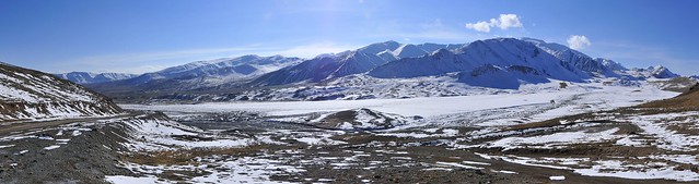 |
| Panorama looking west. |
Given my trouble at the border the last time I was there, as well as the weird vibe given off by police and security in Dushanbe, I was hesitant to take pictures of the actual border area as we waited, lest I attract any unwanted attention. Between the waiting and the processing, it was about an hour before we were stamped out of Tajikistan and on our way down the pass.
 |
| Tajik welcome sign in no-man's-land.. |
 |
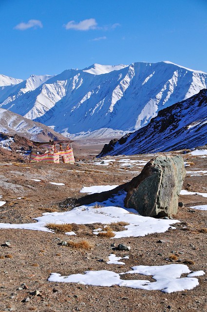
| View from one of the switchbacks. Those buildings on the right are where I was supposed to spend the night when I was rejected at the border a few weeks earlier. Of course, they were empty, so I had to be ferried all the way to the Kyrgyz border at Bar Dobo. |
 |
| Rounding one of the switchbacks. |
 |
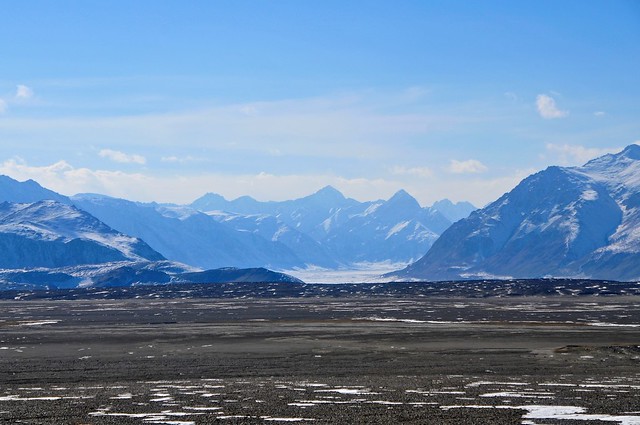
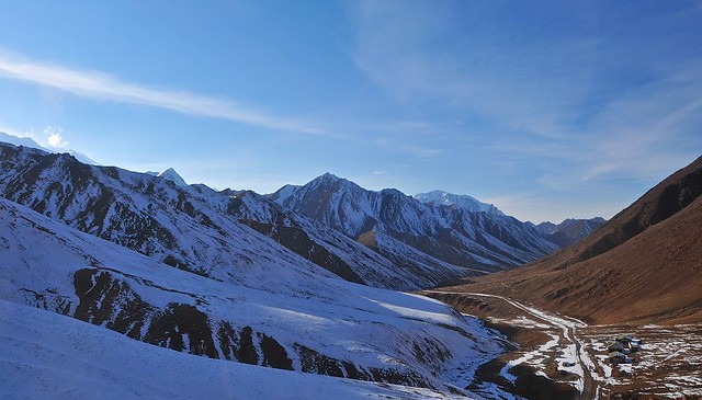
| From the bottom of the switchbacks it's a fairly straight drive down the valley. You can already see how grassier it is on the Kyrgyz side of the border, in the wide Alay valley. |
 |
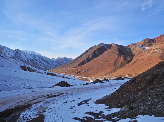
| Looking back up the valley towards the mountains forming the border. |
 |
| East of the M41. |
 |
| Even these small sub-valleys have wide alluvial fans suggesting torrential spring melt-waters. |
 |
| The Kyrgyz border post at Bar Dobo is over the rise and down the hill. |
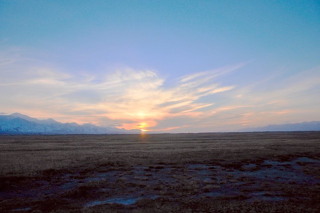 |
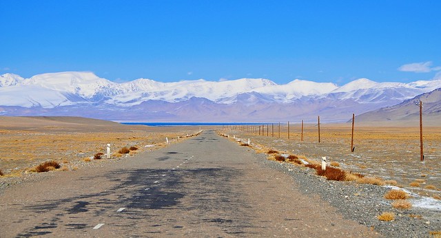
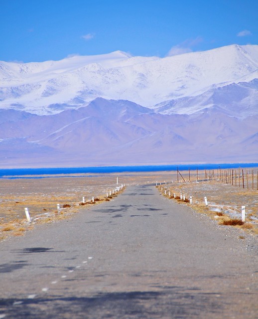
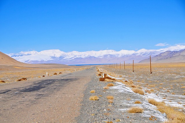
| By the time we were stamped into Kyrgyzstan and crossing the Alay valley on our way to Sary Tash the sun was setting. It was about six hours since we left Murghab, and—unusually for travel in Central Asia—we hadn't taken any meal stops. |
On the Kyrgyz side it again took about an hour for us to be processed and stamped into Kyrgyzstan, and adding in the half-hour it took to cross no-man's-land, the sun was setting as we headed into Sary Tash even though it was bright and sunny when we arrived at Tajik border control. Thankfully I had seen the M41 between Sary Tash and Osh a few times before, so I wasn't missing much. As the road on the Kyrgyz side is fully (and recently) paved once you reach Sary Tash, the Kyrgyz side takes about three and a half hours to reach Osh. In total, that made about seven hours of driving, plus two hours of border formalities.
Now, in all my other journeys to Osh I had been dropped off wherever I wanted to go in the city, and I'm pretty sure the Kyrgyz driver I had traveled with before would have dropped us off in the city. This jeep, however, turned off into a house/compound on the outskirts of Osh, and dropped us there. This wasn't terrible for the other passengers, as they all made calls to friends and relatives to be picked up, but it sucked for Megi and I. What's worse is one of the younger guys who was in our jeep offered to give us a ride into town with his friends and cargo... for 150 som each! For context, a marshrutka from Osh to Jalal Abad is 100 som, so I refused (which was relatively easy since I knew where we were), but Megi had to accept as she was supposed to meet a friend in Osh that night.
From more recent reports it seems that it has become standard for all vehicles to and from Murghab to leave from this compound on the outskirts of Osh, so it probably wasn't as bad a ride as I originally thought (but I'm also sure the other Kyrgyz driver would have taken us all the way).
Anyway, I walked into town. It wasn't that bad, neither too hot nor too cold. I headed to the Osh guesthouse because I wanted to be able to cook and I wanted to use their wi-fi instead of having to sit my ass down in an internet cafe. Some decent food and internet access: two things in short supply over the last week. I made this egg and tomato dish that I had learned about from the Israeli girl Helit in Xiahe, as apparently this Chinese dish is very similar to an Israeli dish, and is very simple to make. I also stocked up on snacks and sweets unavailable in the mountains, spending my remaining som. The guesthouse was pretty empty when i was there, so I was able to snack and surf well into the night.
Budget
October 30, from Murghab to Osh: 170 somoni, 605 som- Taxi to Osh: 170 somoni
- Bed at Osh guesthouse: 260 som
- Internet: 100 som
- Coke, ice cream, chocolates, eggs, tomato, sandwich, cakes, etc.: 245 som
No comments:
Post a Comment